Mary Parks' mapmaking takes her across the globe

When Mary Harman Parks was working on her master's degree in geography at Virginia Tech, she learned that she had a passion for maps. Now, as a gender research associate in the university's Office of International Research, Education, and Development, she creates them.
She found her niche when her academic advisor, Maria Elisa Christie, the director of Women and Gender in International Development, pointed her in the direction of hand-drawn maps (called "participatory mapping" by researchers in the field). With Christie's help, Parks drew on her major in geography in the College of Natural Resources and Environment to marry her mapmaking pursuits and her fascination with people.
"It was the culturally rich human aspect that attracted me to participatory mapping. I did not want to be sitting in front of a computer crunching numbers," Parks says.
The work also combined Parks' job duties as a graduate research assistant with her academic requirements as she earned a graduate certificate in women's and gender studies in the College of Liberal Arts and Human Sciences.
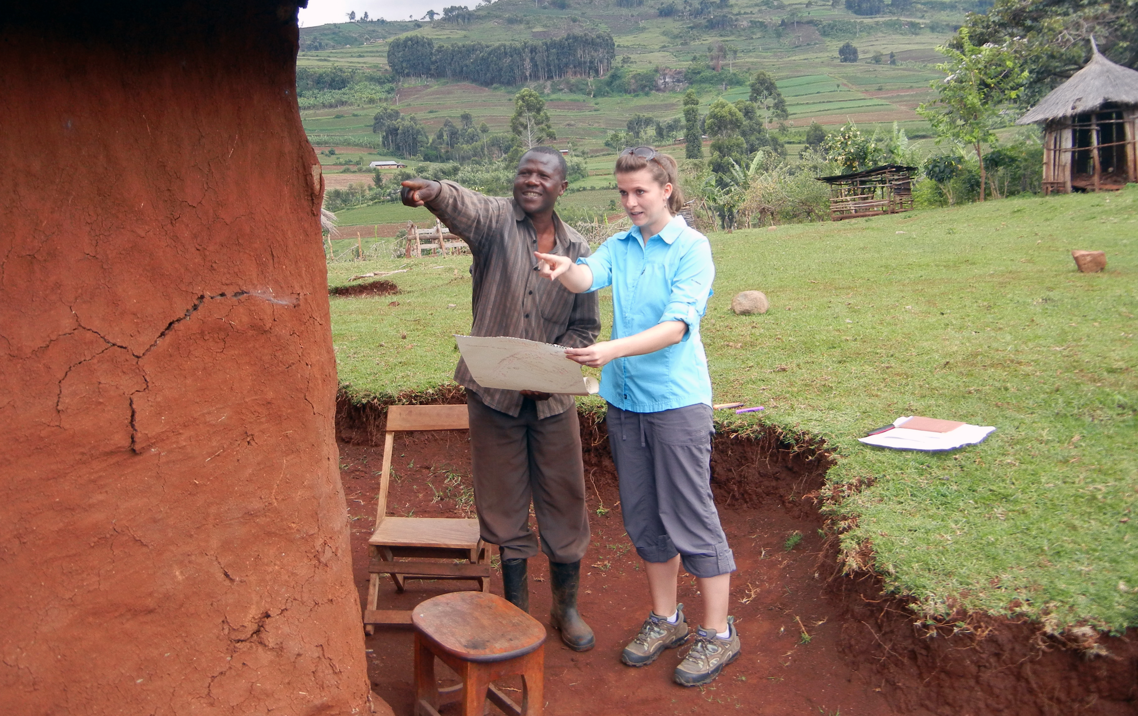
In her blog post Can You Draw Me a Map? she explains her on-the-job research since graduating in May 2013, which has taken her to Uganda and the Philippines to discover how gender influences a development project and how a development project influences gender relations.
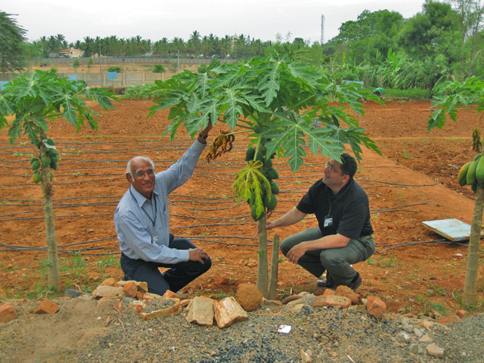
Parks' project fell under Virginia Tech's Sustainable Agriculture and Natural Resource Management Innovation Lab, a program focused on conservation agriculture and funded by the U.S. Agency for International Development. She approached farmers to map the different types of soil on their farms. The maps served two purposes: They helped researchers discover what the farmers could do to increase fertility and yields, and they also showed Parks how gender roles play a part in day-to-day activities.
"We always make sure that gender is included in the research and that all activities are sensitive to the roles of women," Parks says.
Parks is especially interested in the way maps can be a pathway to learn about "people, their environment, and their way of doing things." Overseas, she asks farmers to depict their everyday lives, which results in maps that show crops, animals, homes, machinery, buildings, and even other people. One of the maps on her blog post shows a depiction of a woman’s work environment in Uganda, which includes a kitchen, a chicken house, a bore hole, and the distilling drum where beer is made, tucked under a tree.
“In addition to the farm, these are also spaces where women work, so they also need to be considered in development research,” she says.
For Virginia Tech students who would like to follow in Parks' footsteps, she recommends taking initiative and seeking internships and independent study opportunities. Also, "going to conferences is a great way to learn about what we do and to talk with us personally. Networking is huge," she says. Such events might include the monthly talks held each semester at Virginia Tech called the Women and Gender in International Development Discussion Series and annual academic conferences such as the one held by the Association of American Geographers.
Networking paid off for Parks because it – along with academic excellence and hard work – landed her a dream job. She not only gets to ask the question, "Can you draw me a map?" in different places around the world, but she also gets to savor each person's life story. "It is a unique way to gain insight about different cultures while collecting research that will ultimately help people in the future," she says.
Jessica Snead of Roanoke, a public relations senior in the College of Liberal Arts and Human Sciences, contributed to this report.


