Virginia Tech and partners develop state's geospatial workforce

The geospatial industry, encompassing GPS, geographic information systems (GIS), remote sensing, and the emerging technologies and applications that support the collection, analysis, and interpretation of spatial data, is a rapidly growing yet understaffed field.
The Virginia Community College System (VCCS), the Virginia Space Grant Consortium, John Tyler Community College, Tidewater Community College, Virginia Western Community College, and the Virginia Geospatial Extension Program, based in Virginia Tech’s College of Natural Resources and Environment, are partnering to ensure that the burgeoning needs for geospatial workers are met.
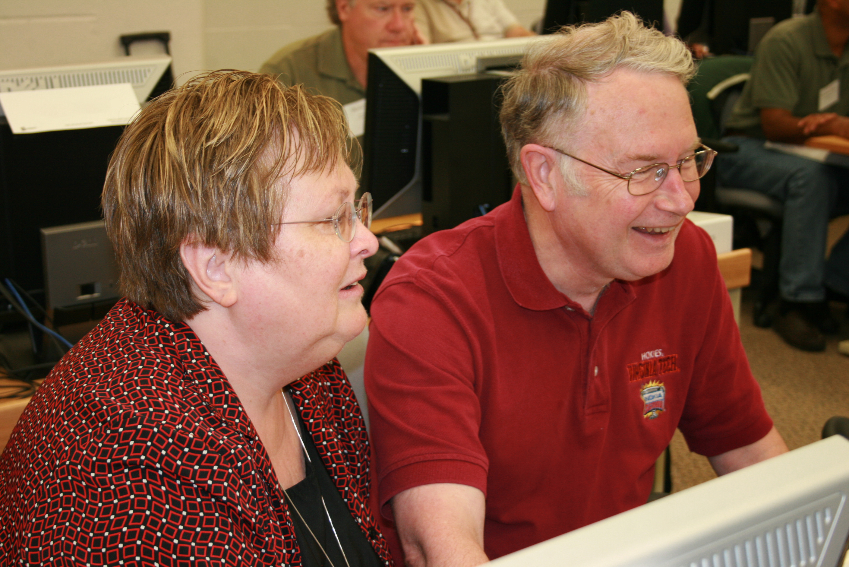
Two one-week workshops offered through the Geospatial Technician Education Through Virginia’s Community Colleges (GTEVCC) project are providing community college faculty and high school teachers with professional development in geospatial technology. Funded by the National Science Foundation’s Advanced Technological Education Program, the fully booked workshops are being held on Virginia Tech’s Blacksburg campus and coordinated by Associate Professor John McGee, Virginia geospatial Extension specialist.
“It is critical to the state’s future that we provide a literate geospatial workforce,” emphasized McGee. “In 2010 alone the sales of geospatial services increased to $4.4 billion. Industry analysts anticipate that geospatial software sales and related services will approach $5 billion in 2011.”
He noted that Virginia has one of the largest geospatial industries in the nation, making the VCCS and other educational institutions well positioned to increase geospatial literacy in the state’s workforce. McGee’s workshops last year generated a number of new geospatial technology courses at the both the community college and high school level.
A cohort of 17 VCCS faculty from 13 different community colleges and five high school teachers attended McGee’s first workshop in July 2010 and now has registered for his follow-up workshop May 21-26. Participants will receive hands-on training in using GPS, GIS, and remote sensing, including classroom-ready materials and geospatial data for Virginia and their local area. The GTEVCC project partners provide mentoring to the teachers taking the workshop as they implement courses at their home institutions.
The scope of geospatial technology is broad and growing. It contributes to public safety and national security; helps governments at all levels manage their natural resources and infrastructure; assists an ever-increasing number of businesses to streamline operations; and helps individuals in their daily lives, from navigating their car, finding a good place to live, or choosing a restaurant.
“This is a rapidly growing and evolving field,” stated McGee. “Applications of these geospatial tools are limited only by imagination and access to a developed workforce.”
The goal of the GTEVCC project is to develop academic pathways in geospatial technology at the three community colleges serving as models for all community colleges in the VCCS. Other components of the GTEVCC include developing the VCCS Geospatial Portal, producing educational materials, and providing career awareness materials in geospatial technology. The curriculum developed through the project is being driven by the needs of business and industry in the commonwealth.
“These workshops are great because they bring together pre-college, higher education, and geospatial industry leaders to build a strong cohort of educators committed to preparing geospatial technicians to meet workforce demand in Virginia,” said Chris Carter, deputy director of the Virginia Space Grant Consortium.
For more information on the GVETCC project, e-mail Chris Carter, deputy director, Virginia Space Grant Consortium, or call (757) 766-5210.
Participating institutions include the following
- Auburn High School;
- Blue Ridge Community College;
- Botetourt Technical Education Center;
- Centreville High School;
- Dabney S. Lancaster Community College;
- Germanna Community College;
- J. Sargeant Reynolds Community College;
- John Tyler Community College;
- Matoaca High School;
- New River Community College;
- Northern Virginia Community College;
- Paul D. Camp Community College – Franklin Campus;
- Paul D. Camp Community College – Suffolk Campus;
- Piedmont Virginia Community College;
- Rappahannock Community College;
- Southside Virginia Community College – Christianna Campus;
- Southside Virginia Community College – John H. Daniel Campus;
- Southwest Virginia Community College;
- Thomas Nelson Community College;
- Tidewater Community College;
- Virginia Beach Advanced Technology Center; and
- Virginia Western Community College.


