Virginia View offers geospatial technology workshops to educators

The Virginia View consortium, led by Virginia Tech’s College of Natural Resources and Environment, is offering a series of two-day workshops for educators who want to incorporate geospatial technology — GPS, geographic information systems, and remote sensing — into their classrooms and beyond.
These introductory-level workshops are targeted to middle and high school teachers, higher education faculty, 4-H and scout leaders, and other educators who have little or no experience in geospatial technology.
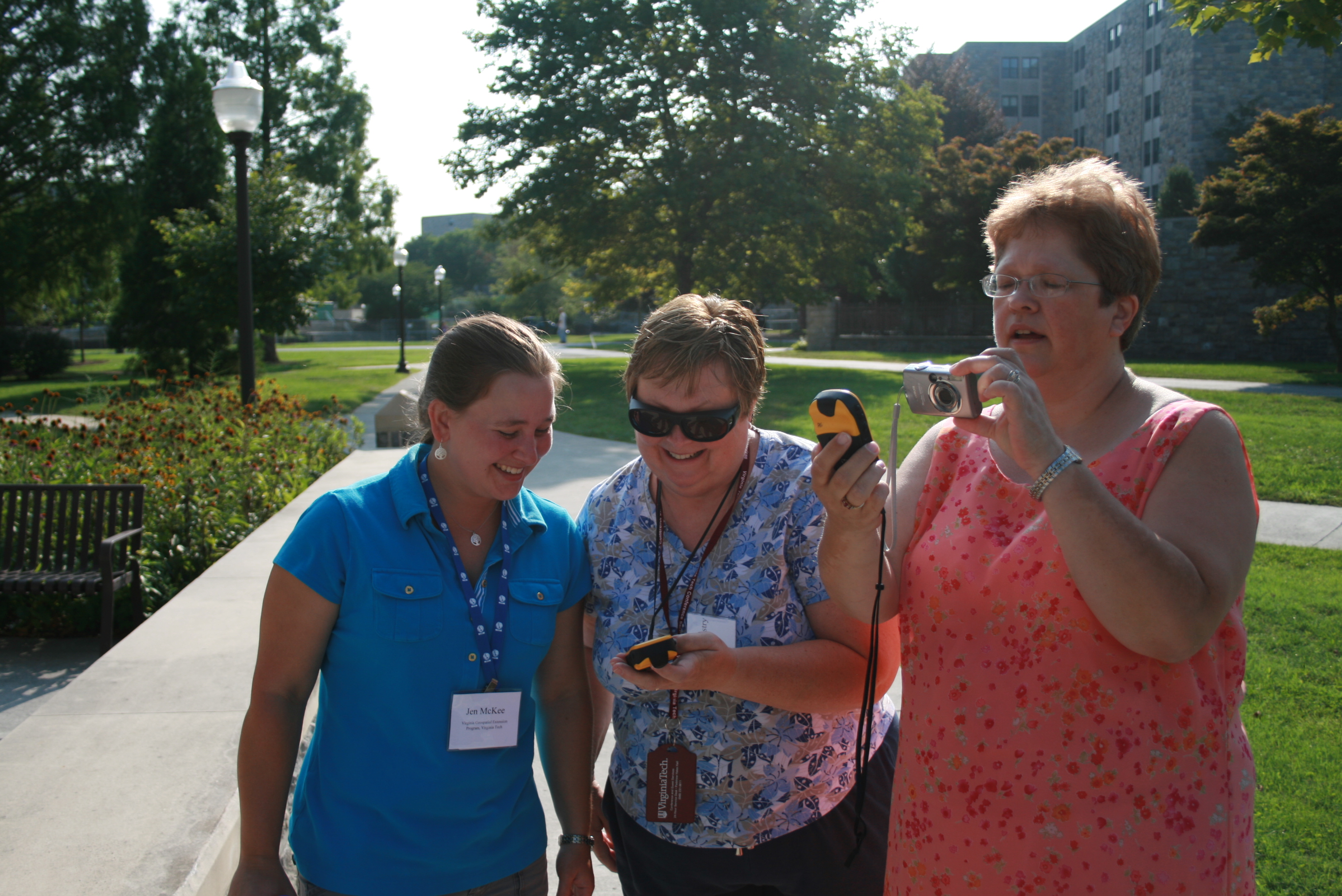
Participants interested in using user-friendly tools and adopting low-barrier approaches to support the integration of geospatial technologies in the classroom or other educational setting will learn more about geospatial technology with hands-on experiences and leave with classroom activities and ideas that can be readily implemented.
The curriculum for these workshops, which will be the same at each location, has been developed “cafeteria style” so that participants can implement just the portions that fit their interest and support their specific needs. All curriculum modules and presentations will be provided in a digital format so that participants can customize those resources as needed.
Online registration is available for the two-day Geospatial Workshops for Educators, which will be held at three locations across the state in July:
- July 9 and 10: Virginia Western Community College in Roanoke;
- July 12 and 13: Southwest Virginia Community College in Richlands; and
- July 25 and 26: Thomas Nelson Community College in Williamsburg.
Registration is required and admission is limited. There is no cost to attend.
Additional information is available online, including the course agenda, online registration form, directions to the facilities, instructions for obtaining community college credit, and general information about geospatial technologies.
“Virginia View is a statewide consortium for cultivating state and local applications of satellite remote sensing through education, research, and geospatial applications,” said John McGee, associate professor and geospatial Extension specialist in Virginia Tech’s Department of Forest Resources and Environmental Conservation.
Other partners in this effort include the Virginia Geospatial Extension Program, Virginia Western Community College, Southwest Virginia Community College, Thomas Nelson Community College, and the Virginia Space Grant Consortium.


