

University researchers collaborate with Virginia Department of Emergency Management to develop statewide hazard mitigation plan
Floods, wild fires, hurricanes, and tornadoes are just a few examples of natural phenomena that cost the state millions of dollars in property and infrastructure damage. National, state, and local agencies are working with Virginia's Department of Emergency Management (VDEM) and researchers at the Virginia Tech Center for Geospatial Information Technology (CGIT) to develop part of a revised statewide plan for communities to identify these risks, vulnerabilities, and estimate potential losses.
Mandated by the National Disaster Mitigation Act of 2000, the Virginia Standard and Enhanced Hazard Mitigation Plan serves to identify and profile natural hazards throughout the commonwealth, and suggest strategies to help reduce their impact.
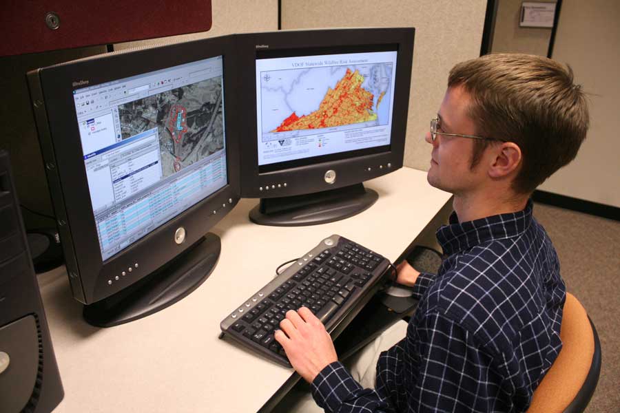
Most of CGIT’s work involves the Hazard Identification and Risk Assessment (HIRA) portion of the hazard mitigation plan, which provides the factual basis upon which mitigation strategies are founded. The HIRA identifies natural hazards relevant to Virginia, quantifies their relative significance, and determines which parts of the state are at greater risk. In addition, the HIRA identifies state owned/operated facilities and other critical facilities which are at risk.
Hazard mitigation planning is also done on the local level. Unfortunately, these plans are often variable in their data sources and analysis methods, and cannot be easily unified to form a complete statewide assessment.
“Our team has broad experience with a variety of hazard mitigation plans. Working with VDEM and the cooperating state agencies has created a strong, collaborative statewide plan,” explains Randy Dymond, co-director of CGIT. Rachael Heltz-Herman, environmental geographic information systems manager at CGIT, explains further how technology can help solve this problem, “Our use of advanced geospatial information systems allows us to take all this complex data and make sense of it. This information can then be used to correlate risks and their impact on the state. Rather than just using a quick and easy method, our approach delves deep into each subject area to ensure that we are using the most relevant sources.”
“To provide the basis for mitigation strategies, we investigate and compile hazard data in a variety of natural hazard subject areas,” explains Thomas Dickerson, project associate at CGIT. “Some of this data is already in a geospatial format that can be used directly in the plan. However, some of the required data only exists in pieces, or not in a geospatial format at all. This non-geospatial data includes tables of historical occurrences, which can be analyzed to determine overall trends in probability and severity across the state.”
In addition to comprehensive geospatial data, the revised plan addresses updated guidance from the Federal Emergency Management Agency (FEMA). Reasonable assessments of each hazard are being developed with guidance from the HIRA sub-committee members. This advanced approach to hazard identification and risk assessment provides a factual basis for prioritizing hazard mitigation activities.
The complete Standard & Enhanced Hazard Mitigation Plan is scheduled for submittal to FEMA in the fall of 2009 for review, and will then become part of the Commonwealth of Virginia’s Emergency Operations Plan. Approval and release of the revised hazard mitigation plan is anticipated for early 2010.
.jpg.transform/m-medium/image.jpg)
