

Tags
Results for: Center for Geospatial Information Technology
Rss Feed
-
Article Item
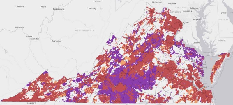 Virginia Tech efforts bring an estimated $250 million in additional funding to improve broadband access in Virginia , article
Virginia will receive the additional funds to improve and enhance broadband access through the efforts of the Center for Geospatial Information Technology.
Date: Aug 30, 2023