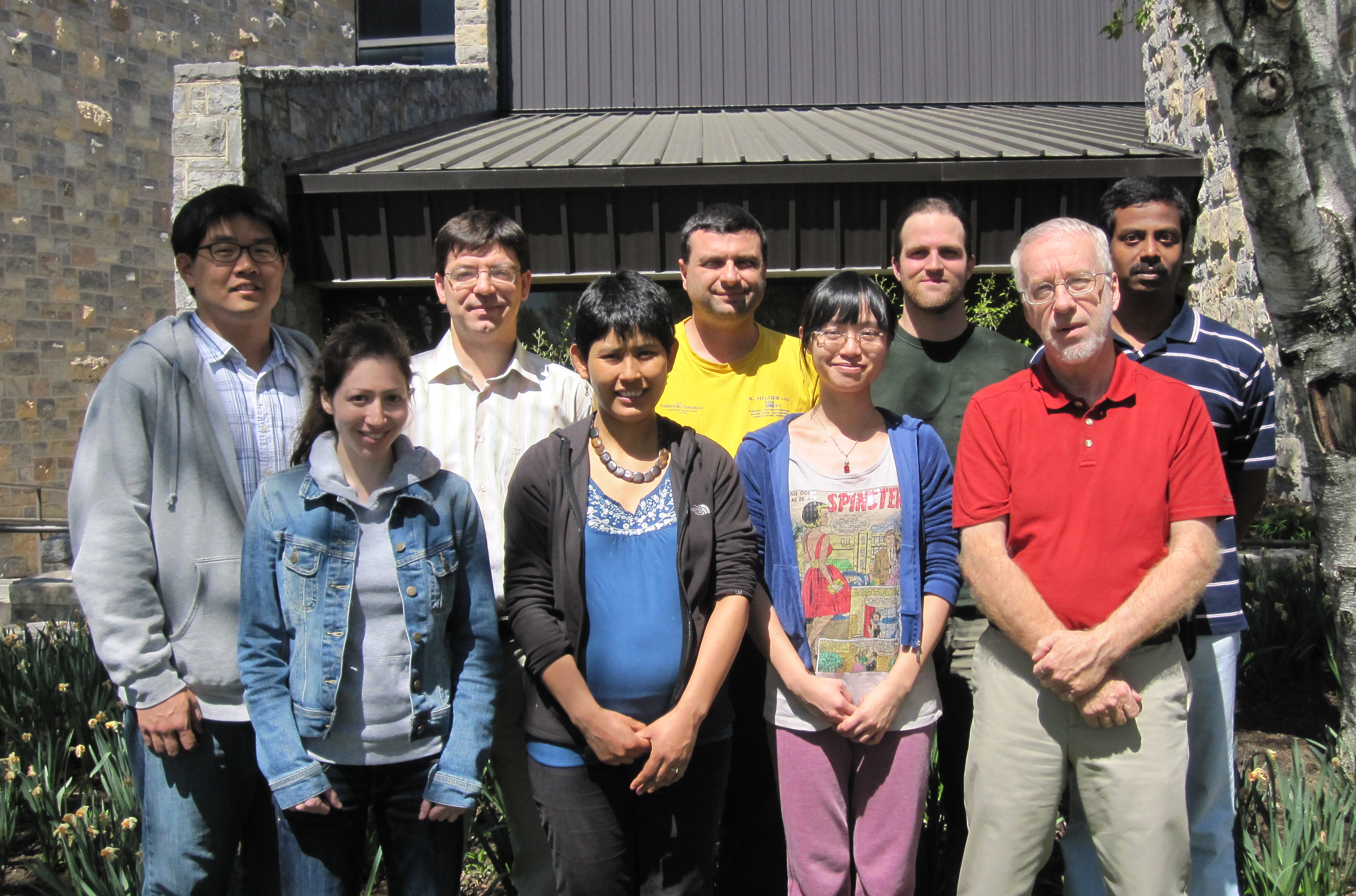
Graduate student team captures national GeoLeague Challenge

A team of eight Virginia Tech geography and forestry graduate students won the national GeoLeague Challenge at the American Society for Photogrammetry and Remote Sensing conference in Sacramento, Calif., on March 24. The society is one of the leading professional organizations devoted to advancing research and applications of geospatial data.
The team, composed of master’s and doctoral students from the College of Natural Resources and Environment and the College of Agriculture and Life Sciences, are members of the society’s Virginia Tech student chapter. Professor Jim Campbell of the Department of Geography serves as the chapter’s faculty advisor.
The goal of the competition was to use geographic information system (GIS) analysis to develop a cost- and time-efficient method to update dynamic coastal wetland information for the National Wetlands Inventory. The team’s winning strategy is an innovative and scientifically supported approach incorporating multiple sensors and data sources, while balancing cost, processing complexity, and classification accuracy.
“This national recognition and the teamwork across departments and colleges are testimony to the expertise, enterprise, and initiative of our student team,” said Paul Winistorfer, dean of the College of Natural Resources and Environment. “They have displayed outstanding skills in their ability to work together as well as outstanding technical and scientific skills that will be much needed in addressing sustainability matters that are so critical to our planet.”
Professor Randy Wynne and Assistant Professor Valerie Thomas of the Department of Forest Resources and Environmental Conservation in the College of Natural Resources and Environment, and Associate Professor John Galbraith of the Department of Crop and Soil Environmental Sciences in the College of Agriculture and Life Sciences provided additional support for the interdisciplinary team. Megan Lang, an adjunct faculty member in the Department of Crop and Soil Environmental Sciences and a U.S. Forest Service research ecologist, also helped by editing the project paper and making recommendations to the team.
“This award illustrates how Virginia Tech students are inventing new ways to help solve the challenges of gathering data in complex and challenging environments such as wetlands,” Galbraith said. “By collecting concrete data, we can then determine ways to help preserve the world’s shrinking wetlands.”
Team members include the following students in the College of Natural Resources and Environment:
- Kemal Gökkaya of Istanbul, Turkey, a doctoral student studying forestry in the Department of Forest Resources and Environmental Conservation;
- Ranjith Gopalakrishnan of Trivandrum, India, a doctoral student studying forestry in the Department of Forest Resources and Environmental Conservation;
- Won Hoi Hwang of Seoul, Korea, a doctoral student studying geospatial and environmental analysis in the Department of Forest Resources and Environmental Conservation;
- Nilam Kayastha of Kathmandu, Nepal, a doctoral student studying geospatial and environmental analysis in the Department of Forest Resources and Environmental Conservation and in the College of Agriculture and Life Sciences’ Department of Crop and Soil Environmental Sciences;
- Ioannis Kokkinidis of Piraeus, Greece, a doctoral student studying geospatial and environmental analysis in the Department of Geography and in the College of Agriculture and Life Sciences’ Department of Crop and Soil Environmental Sciences;
- Taylor Seigler of Barboursville, Va., a master’s student studying geography in the Department of Geography;
- Beth Stein of Vienna, Va., a master’s student studying forestry in the Department of Forest Resources and Environmental Conservation; and
- Baojuan Zheng of Shenzhen City, China, a doctoral student studying geospatial and environmental analysis in the Department of Geography.
“After months of work on the project, it was great to see our hard work pay off,” said Stein, the team leader. “Our team worked very well together in all stages of the project, from developing our vision to conducting the research and producing a high-quality proposal. We each had different areas of expertise, which enabled us to capitalize on our varied strengths.”
Team members each received a GIS reference book from Esri, a one-year membership in the American Society for Photogrammetry and Remote Sensing, and $25 in gift certificates to the society bookstore. The group received $250 for their student chapter and publication of their paper in Photogrammetric Engineering & Remote Sensing, the official journal for imaging and geospatial information science and technology.
“This project has been a student-initiated and student-led activity, over several months, of the student chapter,” said Campbell. “I’m extremely proud of our team and grateful to the society for encouraging and recognizing outstanding student engagement in this important field.”


