

Out-of-this-world technology supports agricultural insurance initiatives with NASA Harvest partnership
Virginia Tech faculty engage in evaluating and improving the design of agricultural insurance programs using satellite data with NASA’s global consortium of researchers and practitioners.
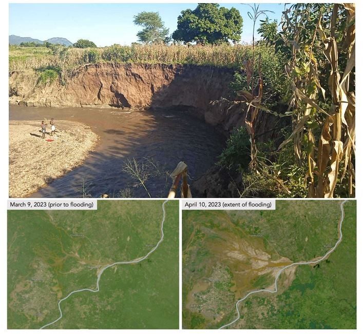
Extreme weather is a major factor affecting agricultural productivity, and it poses particular challenges for vulnerable and resource-constrained small-scale farmers worldwide.
In a new, multiyear series of projects, NASA Harvest — NASA’s global food security and agriculture consortium — is working to help lessen the impacts of extreme weather among small-scale farmers and their households.
Building on an earlier phase of NASA Harvest’s research that showed using remotely sensed data can help rapidly identify agricultural conditions and weather extremes over large areas, researchers at Virginia Tech are now working to help translate this work into applications for agricultural risk management products, such as agricultural insurance.
Within the scope of the broader NASA Harvest insurance initiative, Virginia Tech researchers led by Elinor Benami, assistant professor with the Department of Agricultural and Applied Economics in the College of Agriculture and Life Sciences, seek to identify and evaluate opportunities to maximize the positive development effects of index insurance programs.

With index-based insurance, payouts occur when an “index” closely correlated to agricultural losses falls below a predetermined threshold, often called a “trigger.”
Index-based insurance is significant where there is a widespread, shared risk that is expected to harm agricultural production significantly and can be replaced by an “index,” such as temperature or soil moisture.
Index insurance may be one of the few types of cost-effective insurance available for small-scale farmers in developing countries, as the high costs of individual loss assessment often render conventional claims-based insurance infeasible.
Despite the promise of index insurance, geospatial data is approaching a critical inflection point. Significant opportunities exist for the effective use of remotely sensed data utilizing spatial resolution technology to view the smallest details in agriculture.
“Although index insurance has some degree of payment discrepancy, we have a responsibility to help encourage evaluation and improvement. This is especially important when insurance programs are subsidized — as agricultural insurance often is — and the public funds used for subsidies could have gone to other programs providing a greater benefit to the public,” Benami said.
“Agricultural losses have substantially increased in the past 30 years due to extreme weather events and a warming climate and are expected to further accelerate in the years to come,” said Inbal Becker-Reshef, director of NASA Harvest and a professor at the University of Maryland.
“NASA Harvest recognizes the gap that satellite data can fill, which will help inform financial instruments, such as agricultural insurance and reinsurance. This information ultimately plays a key role in reducing vulnerability and increasing farm resiliency, including for many smallholder farmers in regions where insurance is currently not accessible to them.”
Teaching the next generation of data scientists
In addition to her research under this grant, Benami is an affiliate faculty member of Virginia Tech’s Remote Sensing Interdisciplinary Graduate Education program, a collaborative effort spanning five colleges and 13 departments.
Within this program, Benami developed and now teaches a core course on Remote Sensing in the Social Sciences, which seeks to equip graduate students with research and quantitative satellite data analysis skills in the service of addressing important social science-related questions.
“I’m glad to see how prior students in this class have been able to incorporate lessons from across fields into their applied academic research projects,” Benami said.
NASA Harvest is funded by a five-year, $15 million grant awarded to the University of Maryland’s Department of Geographical Sciences. To learn more about NASA Harvest, visit nasaharvest.org.
To learn more about the interdisciplinary graduate education program in remote sensing at Virginia Tech, visit rsigep.frec.vt.edu.


