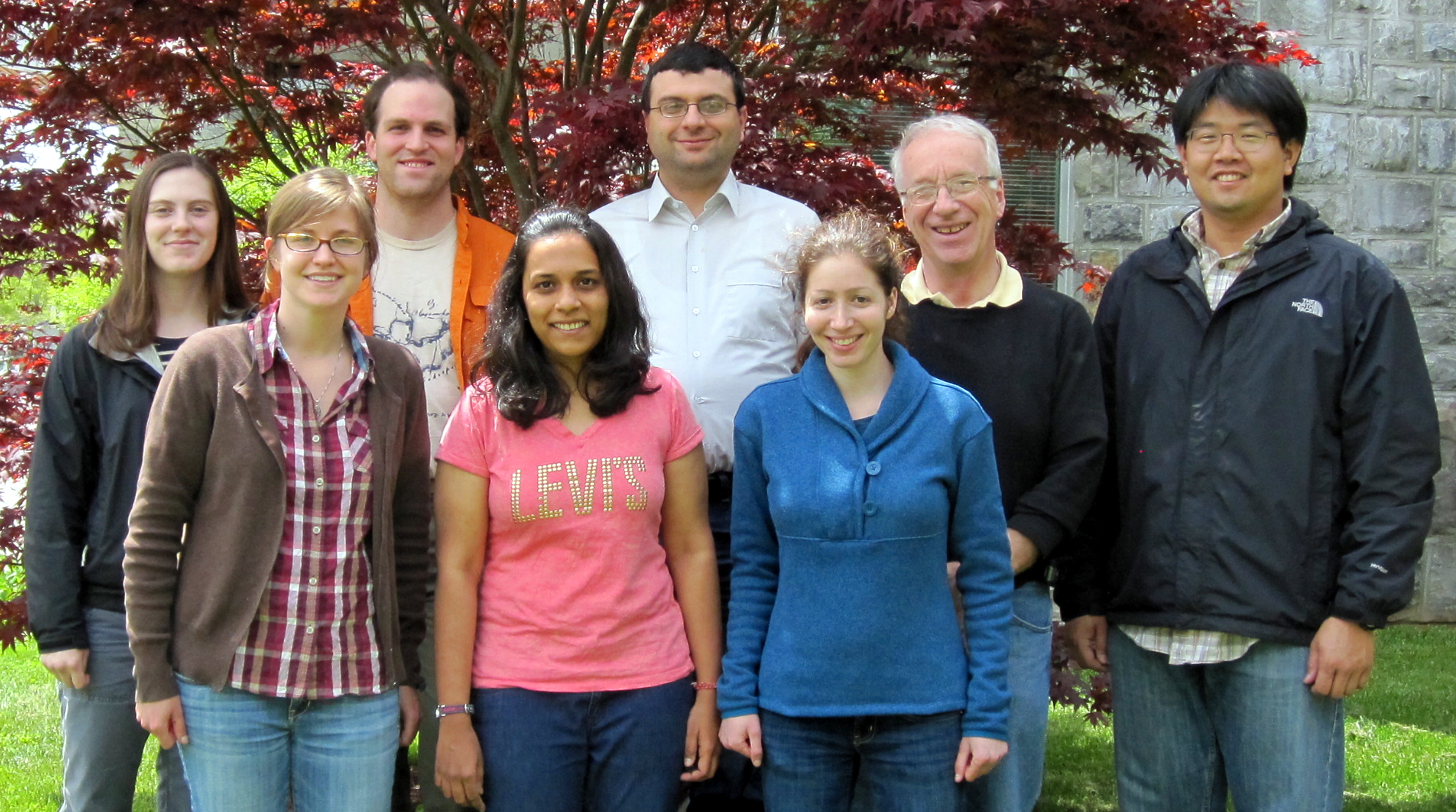
Graduate student team prevails at national GeoLeague Challenge

A team of seven geography and forestry graduate students took home Virginia Tech’s second consecutive title in the national GeoLeague Challenge at the American Society for Photogrammetry and Remote Sensing conference held earlier this spring in Baltimore, Md.
The team, which calls itself the Trail Blazing Hokies, is composed of master’s degree and doctoral degree students from the College of Natural Resources and Environment and the College of Agriculture and Life Sciences who are members of Virginia Tech student chapter of the society, one of the leading professional organizations devoted to advancing research and applications of geospatial data.
“The GeoLeague Challenge provides our students a unique opportunity to develop their technical and collaborative skills to solve real-world problems,” said James Campbell, professor of geography and the student chapter’s faculty advisor. “The members of our student team, who have again distinguished themselves through their collaboration across disciplines and across their respective specialty areas, deserve credit for their persistence, focus, and teamwork. This experience will serve them well in their future studies and careers.”
The goal of this year’s challenge, entitled Designing and Mapping Trails for the Boy Scouts of America: Mapping Algorithm Development and Visualization, was to use geographic information system analysis to develop a cost- and time-efficient method to design trails at the Philmont Scout Ranch in New Mexico.
The Virginia Tech team prevailed with their entry, A Least-Cost Algorithm Approach to Trail Design Using GIS. Stephen Prisley, associate professor of forest inventory and geographic information systems in the Department of Forest Resources and Environmental Conservation; alumna Baojuan Zheng, a member of last year’s team who earned her doctoral degree from Virginia Tech in 2012; and Patricia Donovan, a GIS laboratory specialist in the Department of Crop and Soil Environmental Sciences provided additional support for the interdisciplinary team.
Team members include the following students in the College of Natural Resources and Environment:
- Catherine Howey of Roanoke, Va., a master’s student studying geography in the Department of Geography;
- Won Hoi Hwang of Seoul, Korea, a doctoral student studying geospatial and environmental analysis in the Department of Forest Resources and Environmental Conservation;
- Ioannis Kokkinidis of Piraeus, Greece, a doctoral student studying geospatial and environmental analysis in the Department of Geography and in the College of Agriculture and Life Sciences’ Department of Crop and Soil Environmental Sciences;
- Laura Lorentz of Wauwatosa, Wis., a master’s student studying forestry in the Department of Forest Resources and Environmental Conservation;
- Taylor Seigler of Barboursville, Va., a master’s student studying geography in the Department of Geography;
- Beth Stein of Vienna, Va., a doctoral student studying forestry in the Department of Forest Resources and Environmental Conservation; and
- Jayashree Surendrababu of Chennai, India, a master’s student studying geography in the Department of Geography.
“Trail making today is more of an art than a science,” said Kokkinidis, the team leader. “We have created a versatile and comprehensive tool that can be used wherever a trail needs to be plotted not only by the Boy Scouts but also by users who lack trail making experience.”
Team members each received a one-year membership in the American Society for Photogrammetry and Remote Sensing. In addition, they earned $300 for their student chapter and publication of their paper in Photogrammetric Engineering & Remote Sensing, the official journal for imaging and geospatial information science and technology.
“Competition was tougher this year, but in the end we persevered and won the challenge again,” Kokkinidis added. “We look forward to competing again next year.”


